

Geospatial Sciences & Data Analysis
Aspen harnesses Geospatial Sciences for enhanced development, analysis, and visualization.
Project development, environmental assessment, permitting, and compliance can all benefit from the capabilities of Geospatial Sciences, which utilize Geographic Information Systems (GIS), visual simulations, LiDAR analysis, and graphic design to increase project understanding, speed up data collection and analysis, enable comparison and selection of alternatives, and improve presentation effectiveness. The industry trend is toward digital spatial knowledge that replaces paper documents and other low-tech solutions. By pinpointing exact locations in project analysis, we help our project teams increase productivity, better respond to stakeholders’ inquiries, identify and map sensitive resources, and utilize geographic data for specific analysis.
Aspen’s Geospatial capabilities are integrated into internal project teams to provide value-added capabilities to our clients. In addition, Geospatial services can be provided independently of other Aspen project work, including system development, outsourcing, and consultation.
Aspen’s services and capabilities include:
Cartographic Maps and Displays
Web Mapping and Cloud-based Technology Support
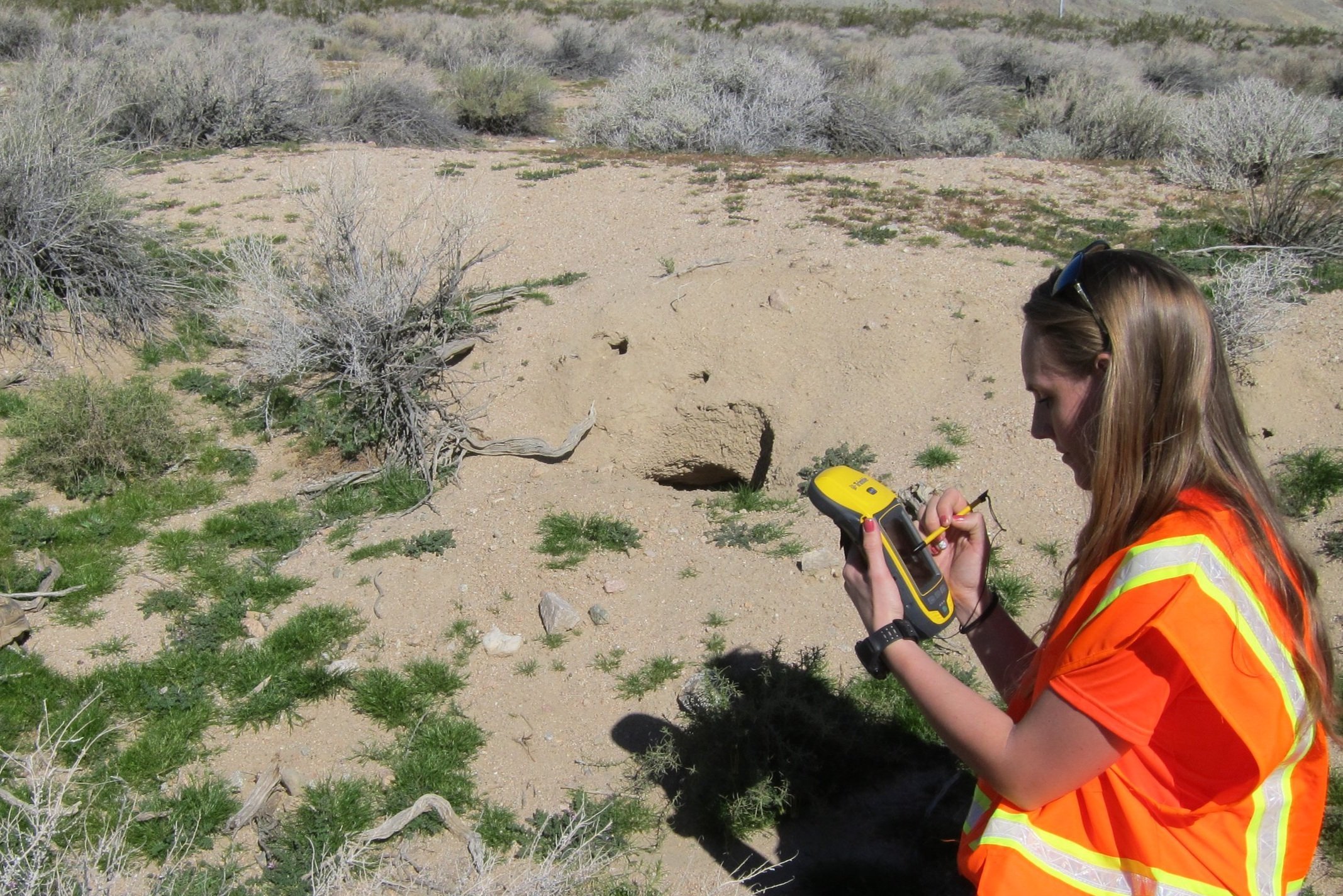
Field Data Collection
Spatial and Imagery Data Analysis
Infrastructure Asset Management Systems
Visual Simulations and 3-D Rendering
LiDAR Acquisition and Analysis
Database Management Support
Client Training